Instruments:
Pyranometer - Kipp & Zonen CMP 3
A pyranometer facing upward from the ground measures the electromagnetic radiation from the sun after it has passed through the atmosphere. Various processes associated with the atmosphere’s physical and chemical properties modify the amount of solar energy at the top of the atmosphere and these provide insight into variables which influence weather and climate. Data from this instrument can be used to quantify the amount of solar energy reaching the ground and to relate it to other observed parameters. | 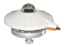 |
Pyrgeometer - Kipp & Zonen CGR 3
| A Pyrgeometer is used to measure the broadband thermal infrared radiation at the ground. This is radiation that has been emitted by the Earth itself and is an important component of the planetary radiation budget. These data may be used to illustrate the greenhouse effect since the surface is warmed by the combination of both solar and infrared radiation. The primary atmospheric variables which will influence the infrared radiation are water vapor amount, cloud cover, and cloud altitude. | 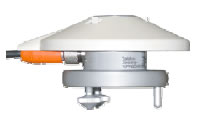 |
Total & Diffuse Radiation Pyranometer - Delta-T Devices SPN1
| The SPN1 is solar radiation measurement instrument. An alternative to shade-ring pyranometers, the SPN1 uses an array of seven miniature thermopile sensors and a shading pattern to measure the total and diffuse components of incident solar radiation. | 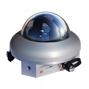 |
All-sky camera - Schreder-CMS: VIS J1006
| Using a fisheye lens, the digital camera captures 180 degree field of view color images of the sky above the observatory. Image analysis can provide atmospheric information such at cloud fraction, cloud type, and front progression. |  |
Vaisala CL31 Ceilometer
| The ceilometer measures cloud base height and laser backscatter profiles up to 7.5 km. A pulsed diode laser LIDAR is used to detect clouds direct above. Instruments similar to this are used at airports around the world. |  |
Kipp & Zonen PGS-100 Spectrometer
| A sunphotometer which points at and tracks the sun can be used to determine the amount of optically active aerosol particles and gaseous constituents in a vertical column of atmosphere. Making these observations over a range of wavelengths provides additional information relating to the size and composition of suspended particulate matter. | 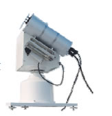 |
Thermo Environmental Model 49 Ozone Monitor
| Measures ground level ozone concentration. |  |
All-Weather Precipitation Gauge
| Measures precipitation amount in all-weather conditions using an electronic weighing gauge. | 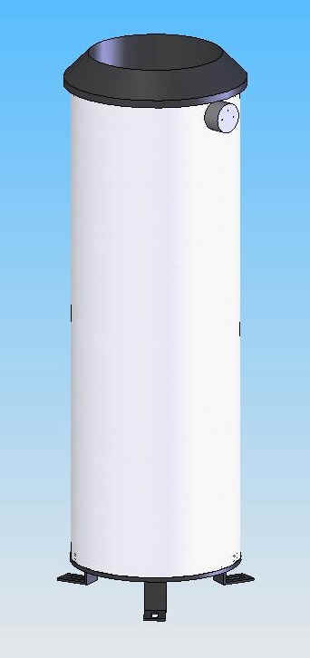 |
Laser Optical Disdrometer - Parsivel
| This instrument is a modern laser-based optical system that differentiates and classifies precipitation particles as drizzle, rain, sleet, hail, snow, or mixed precipitation. It measures size and velocity of each individual precipitation particle, the amount of precipitation, the equivalent radar reflectivity, and the visibility. | 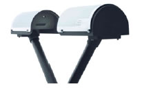 |
Micro Rain Radar
| The micro rain radar provides vertical profiles of rain fall rate, liquid water content, and drop size distribution with a high spatial (~30 m) and temporal (~10 s) resolution. |  |